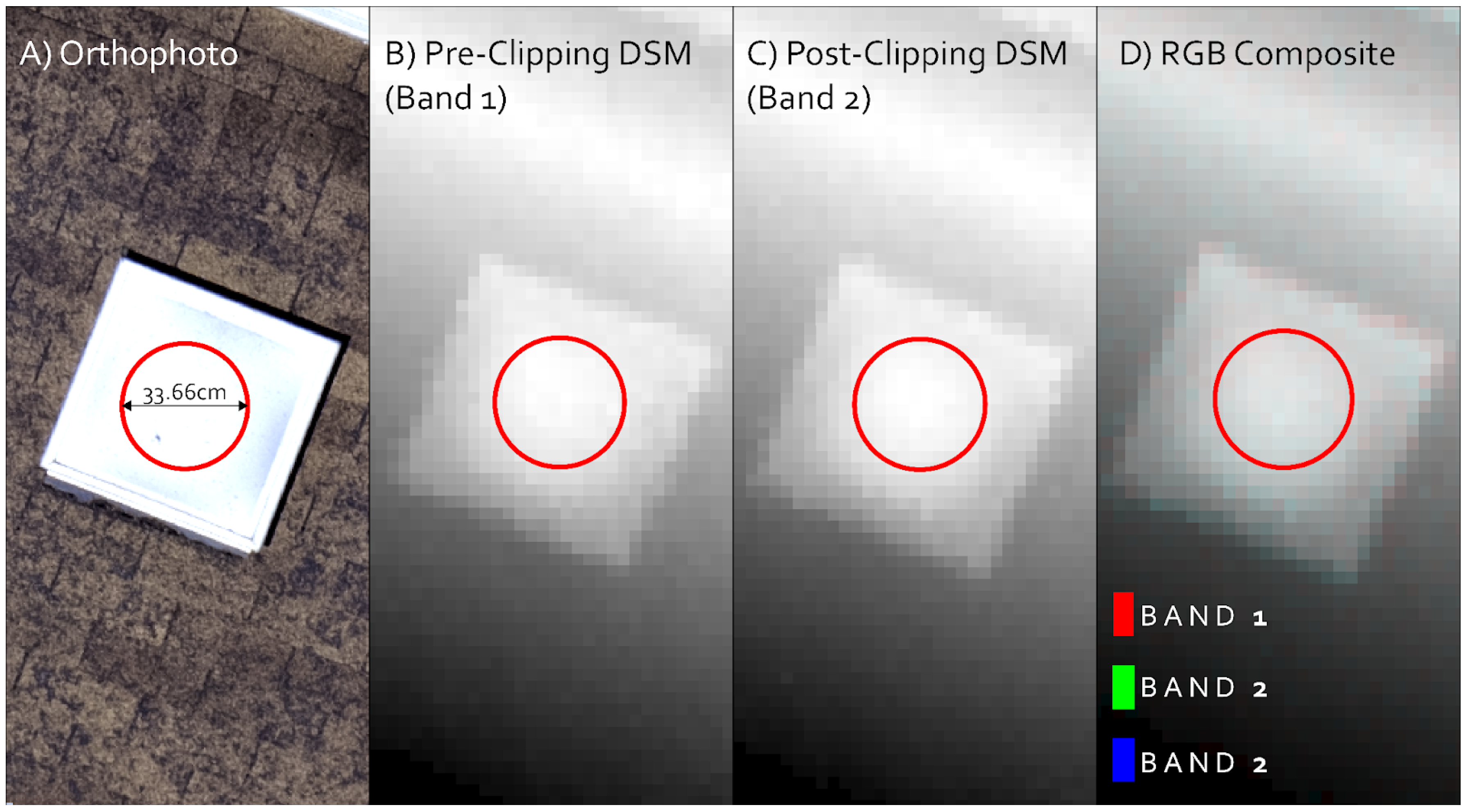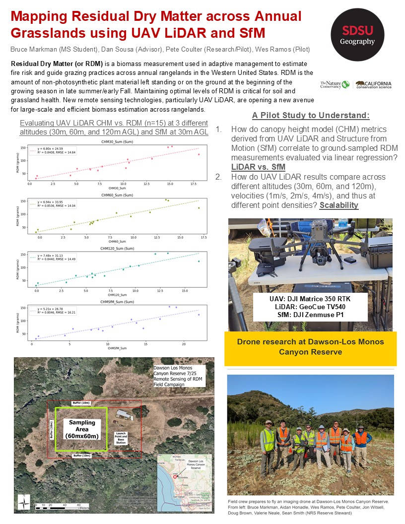
Remote Sensing of Residual Dry Matter
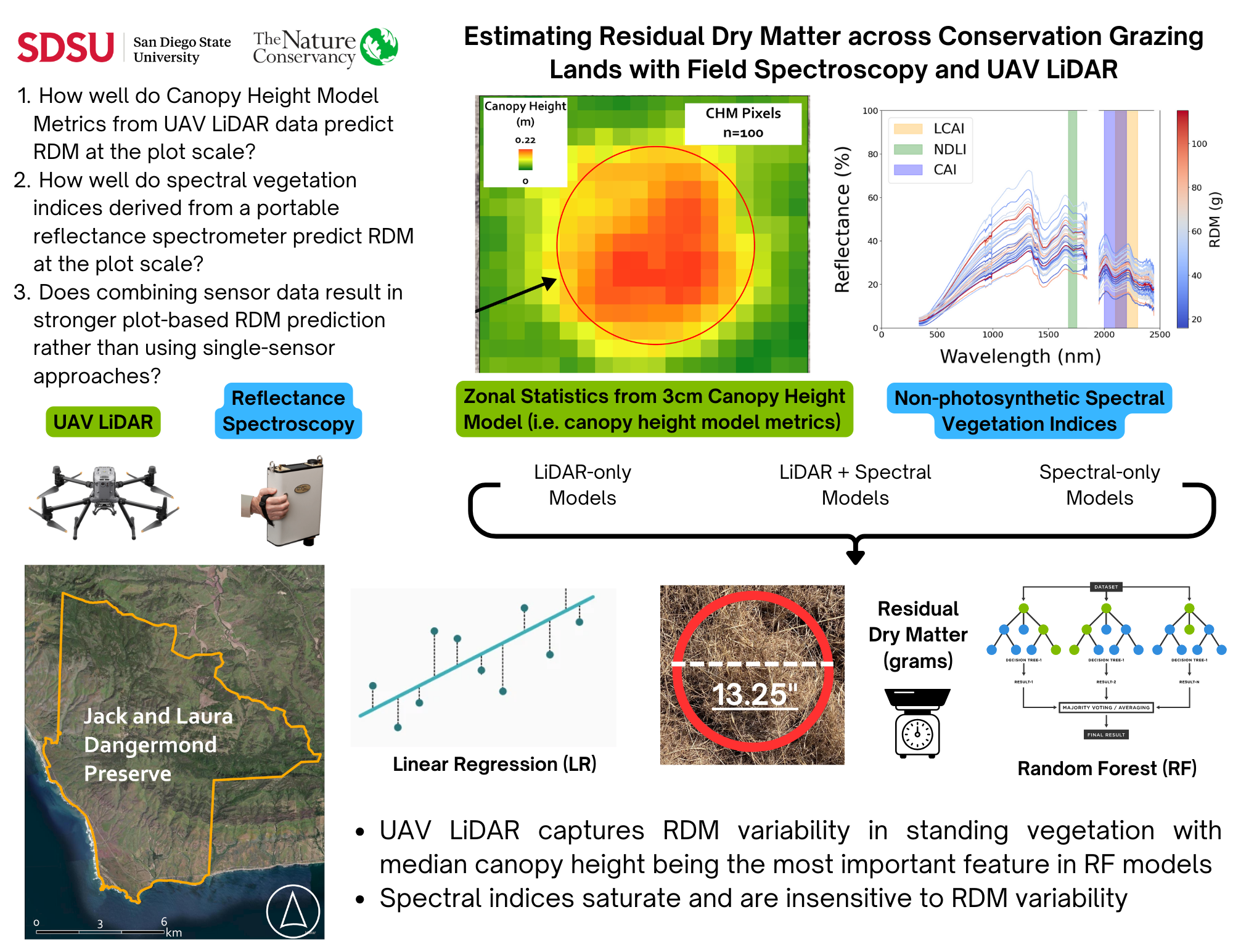
UAV LiDAR and field spectroscopy workflow from my MS Thesis for estimating residual dry matter across California conservation grazing lands.
View Manuscript View RepoPortfolio
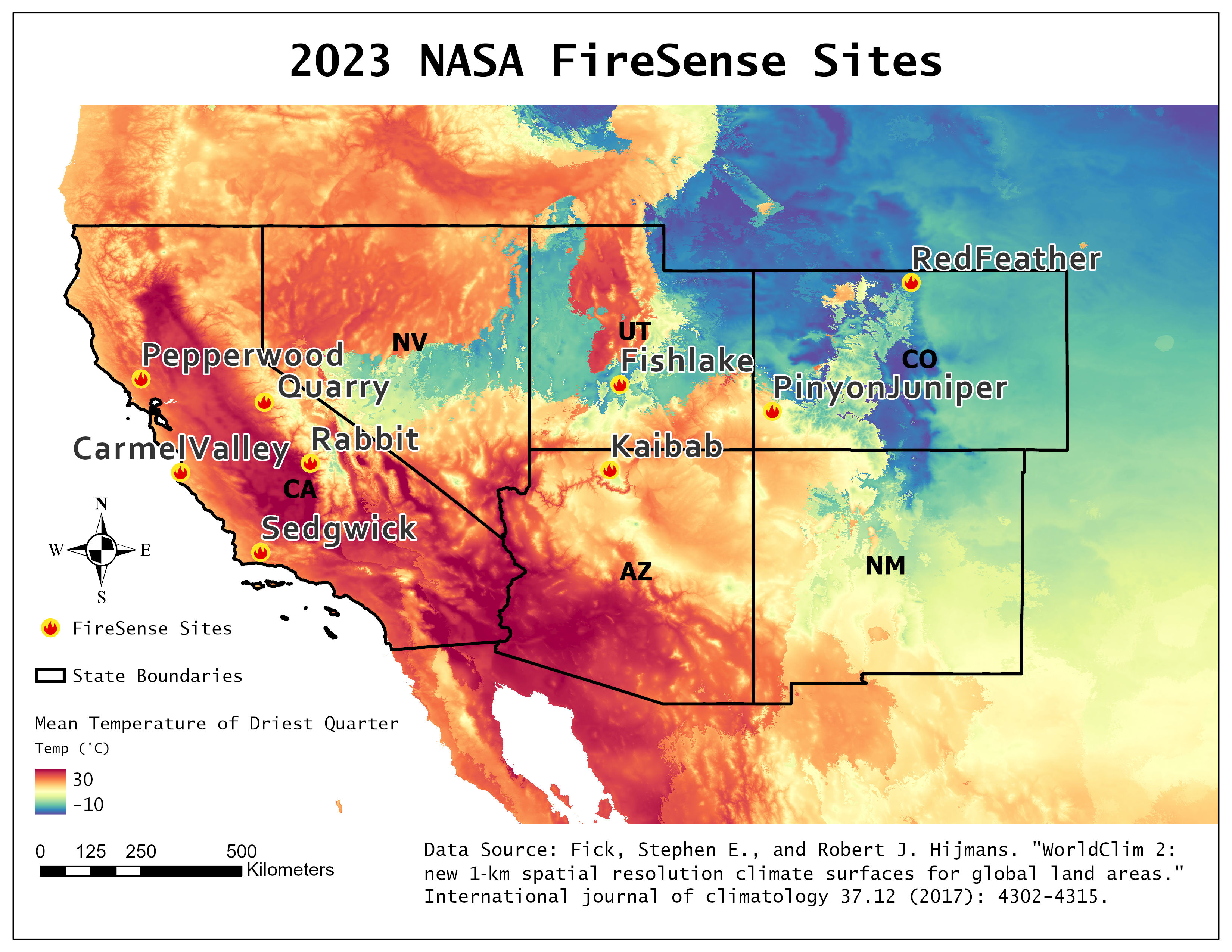
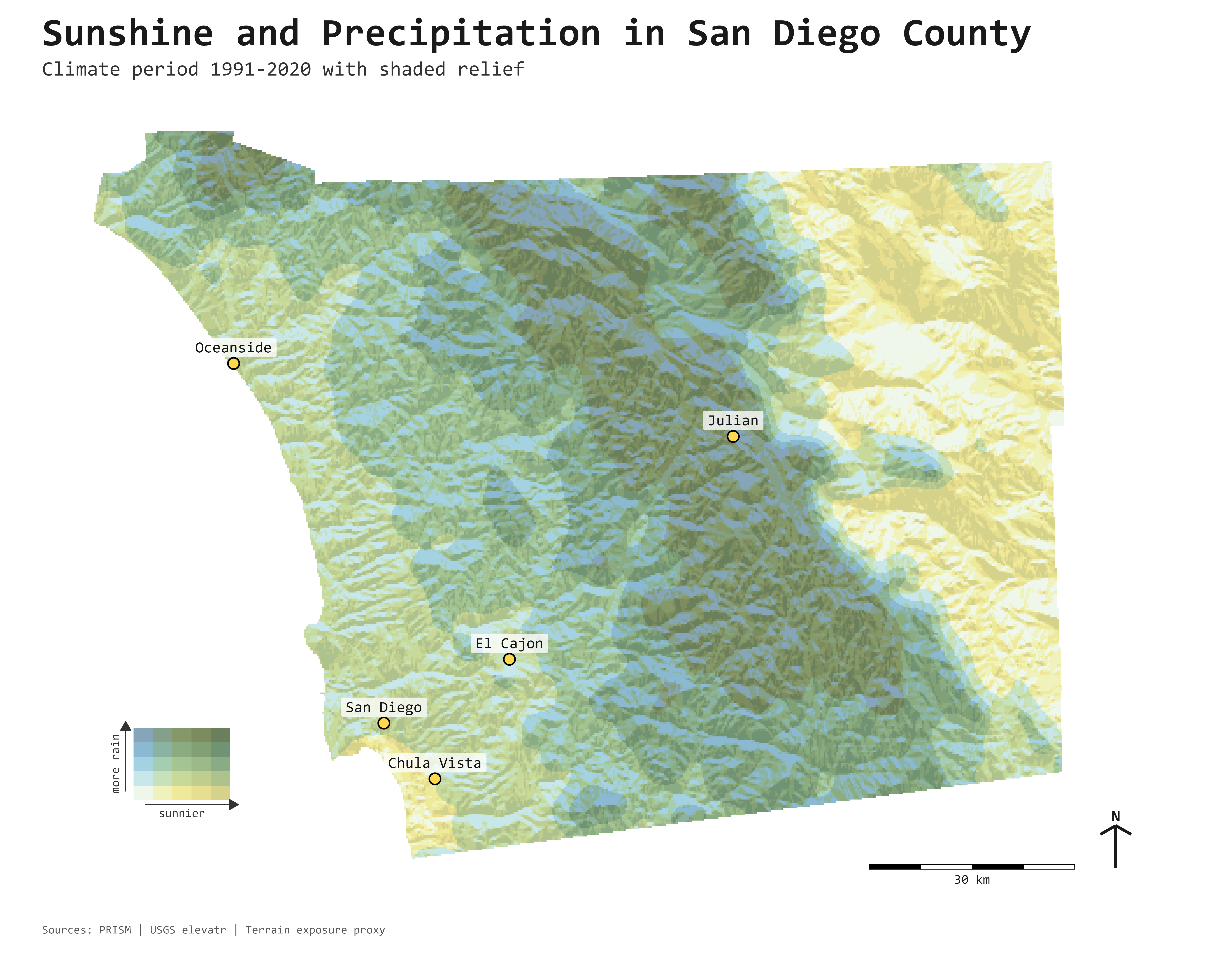
Highlighted WebGIS Applications, Geospatial Analyses, and Graphical Products.
UAV LiDAR and field spectroscopy workflow from my MS Thesis for estimating residual dry matter across California conservation grazing lands.
View Manuscript View Repo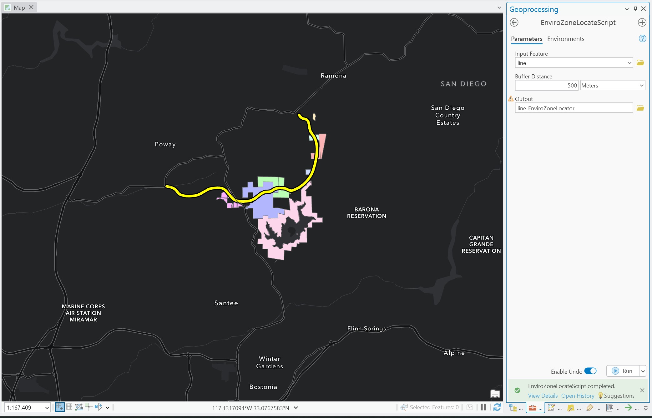
An ArcGIS Pro custom geoprocessing toolbox for quickly locating environmental zone context and supporting map-based screening workflows.
View Repo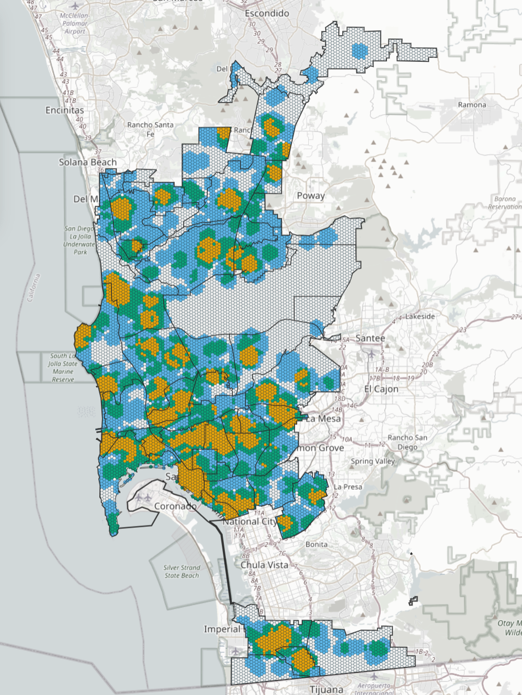
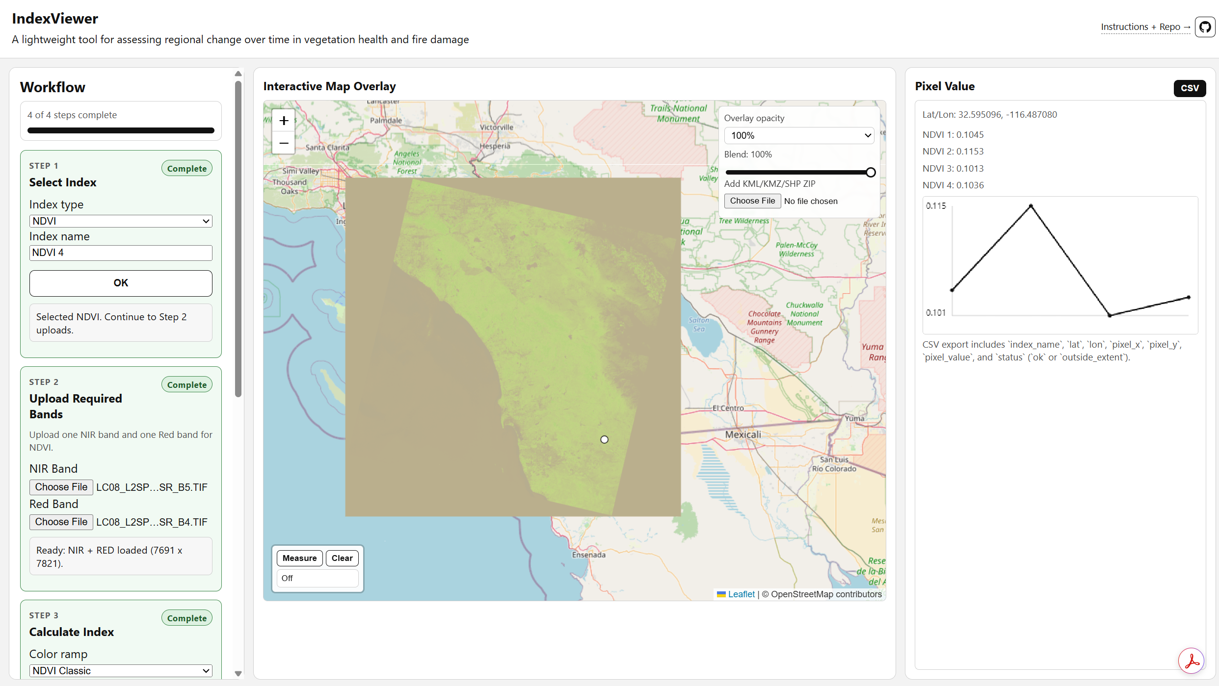
High-density UAV LiDAR point cloud collected at Dawson Los Monos Canyon Reserve: View on OpenTopography.
Open point cloud viewerSelected maps and visual products from the portfolio collection.